
Private Residential + Small Business
Many small capital improvement projects and business development plans are subject to environmental review and permitting of some kind, even though the scope of these projects is usually local.
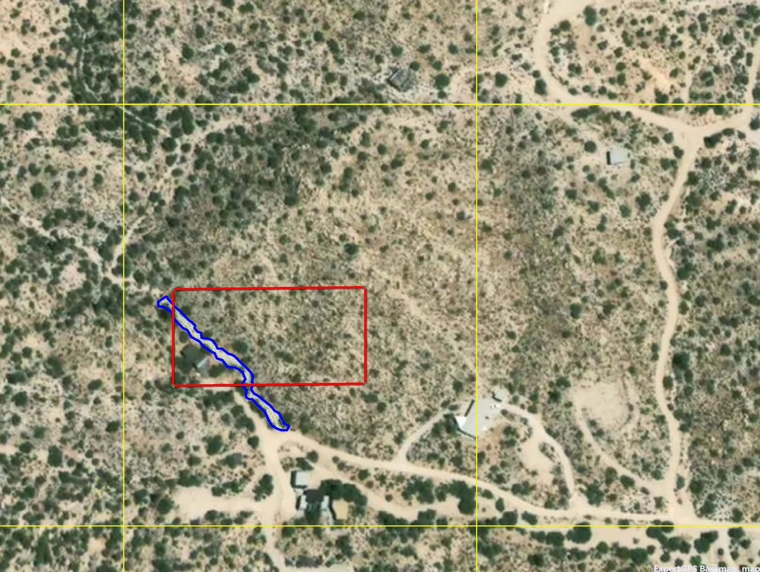
Permitting for capital improvement projects can be triggered when planned actions include impacting waterways, native habitat or vegetation, and listed animal species.
Impacts most often come in the form of grading, trenching, excavation, mechanical compaction, and addition/subtraction of soils or rock for:
Footings, foundations, and utilities connections for construction of new structures, additions, and outbuildings
Ground-based solar installation
Driveway expansions
Retaining walls
Septic work
Swimming pools or ponds
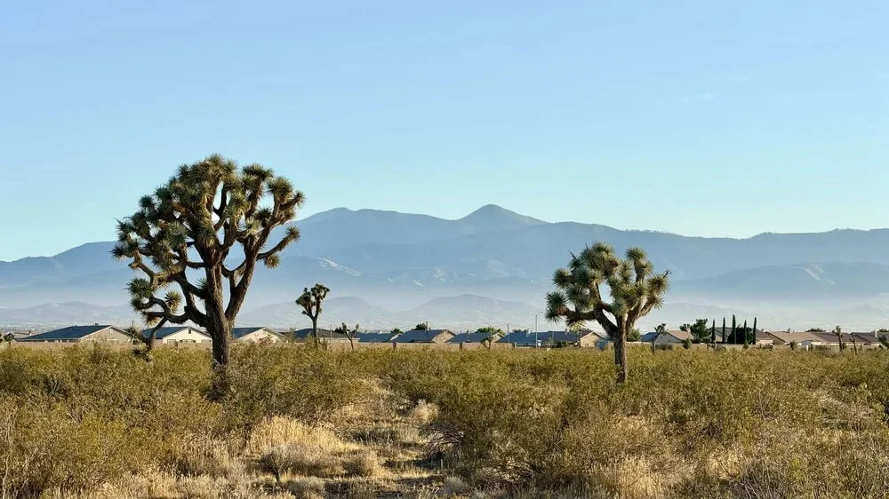
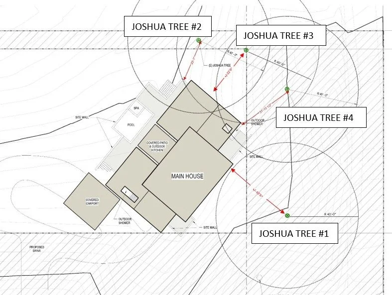
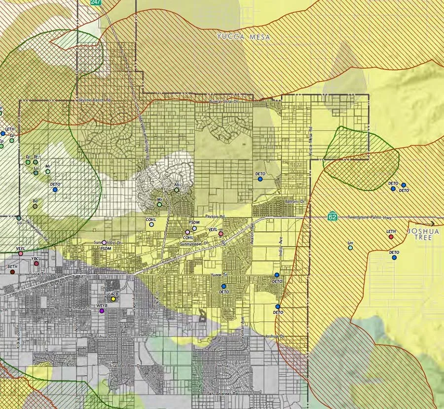
In the high desert of the west Mojave region, even private residential parcels frequently encounter permitting requirements for new improvements if the property supports western Joshua trees (Yucca brevifolia).
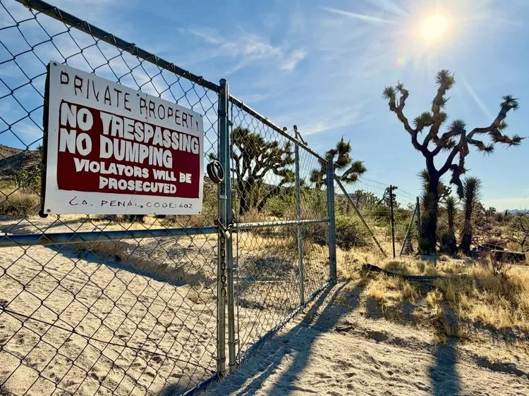
The western Joshua tree is an iconic desert native plant recently protected under the Western Joshua Tree Conservation Act (WJTCA; July 2023), and it is currently retained as a candidate species pending a final listing decision under the California Endangered Species Act (CESA). California law therefore prohibits the importation, export, take, possession, purchase, or sale of any western Joshua tree in California unless a permit is obtained through California Department of Fish and Wildlife. The new legal status of the Joshua tree, and its widespread occurrence throughout its range, directly affects homeowners and small businesses in desert communities (Yucca Valley, Joshua Tree, Victorville, Lancaster, Palmdale, and similar areas) who may need to remove, trim, or relocate a Joshua tree for a capital improvement project.
Conditional Use Permitting (CUP) is often required from local agencies when property use for commercial purposes would entail a deviation from current zoning.
For example, a home-based small business scaling into a public-facing operation such as a short-term rental, an agricultural or event venue, or any commercial use in a rural/desert zone. The CUP process is where local jurisdictions typically consider state-level environmental findings, requiring evidence of California Environmental Quality Act (CEQA) compliance (or an exemption determination) as a component of the CUP application. If no exemption applies, the local agency typically requires a biological resources assessment, prepared by a qualified biologist, to determine whether the project could significantly affect sensitive species or habitat (for example Joshua trees, desert tortoise, raptors, rare plants, etc.). This assessment feeds directly into the CEQA Initial Study/Negative Declaration that is a part of the CUP application.
See More Sectors
-
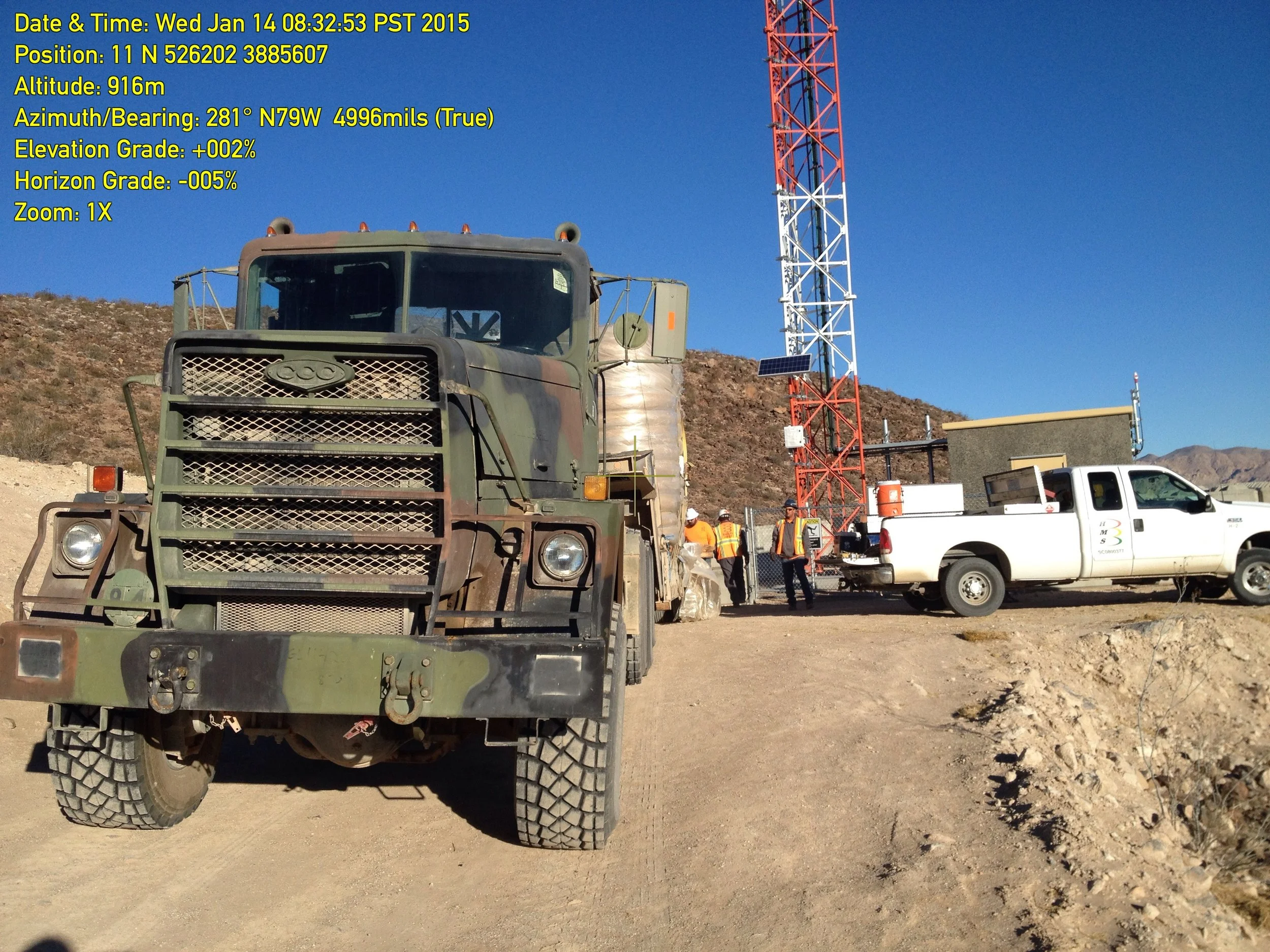
![A large military truck in the foreground with members of a crew and a white utility truck behind. There is a tall red and white radio tower with a solar panel, and several workers in orange safety vests and hats at a construction or maintenance site on a mountainous landscape. The sky is clear and blue.]()
Federal Lands Management + Department of Defense Infrastructure
-
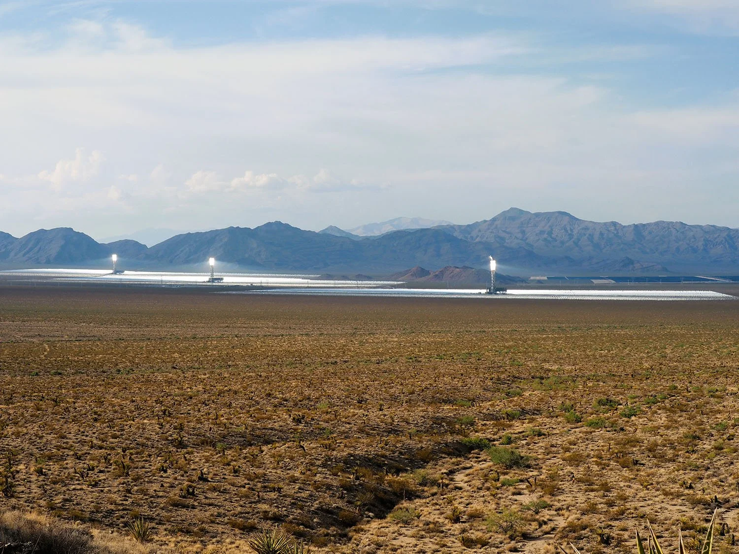
![A desert landscape with a distant view of a solar power plant, mountains, and a cloudy sky.]()
Utilities: Energy Generation Facilities
-
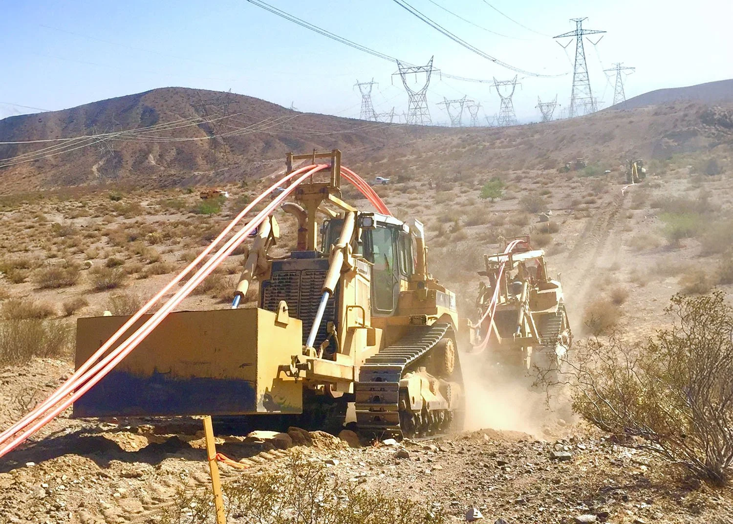
![Construction site in a desert area with bulldozers and cables, mountains, power lines, and transmission towers in the background.]()
Utilities: Transmission Lines
-
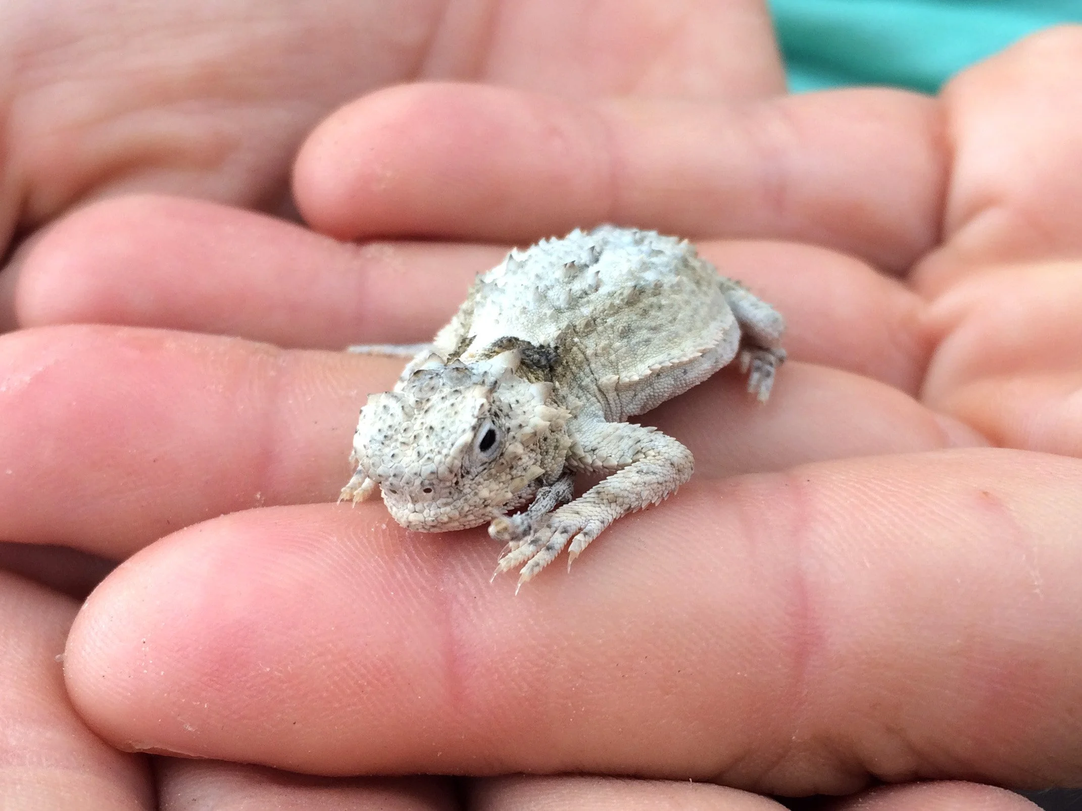
![Close-up of a small grey and white lizard resting on a person's fingertips.]()
Biological Research + Conservation Projects
-
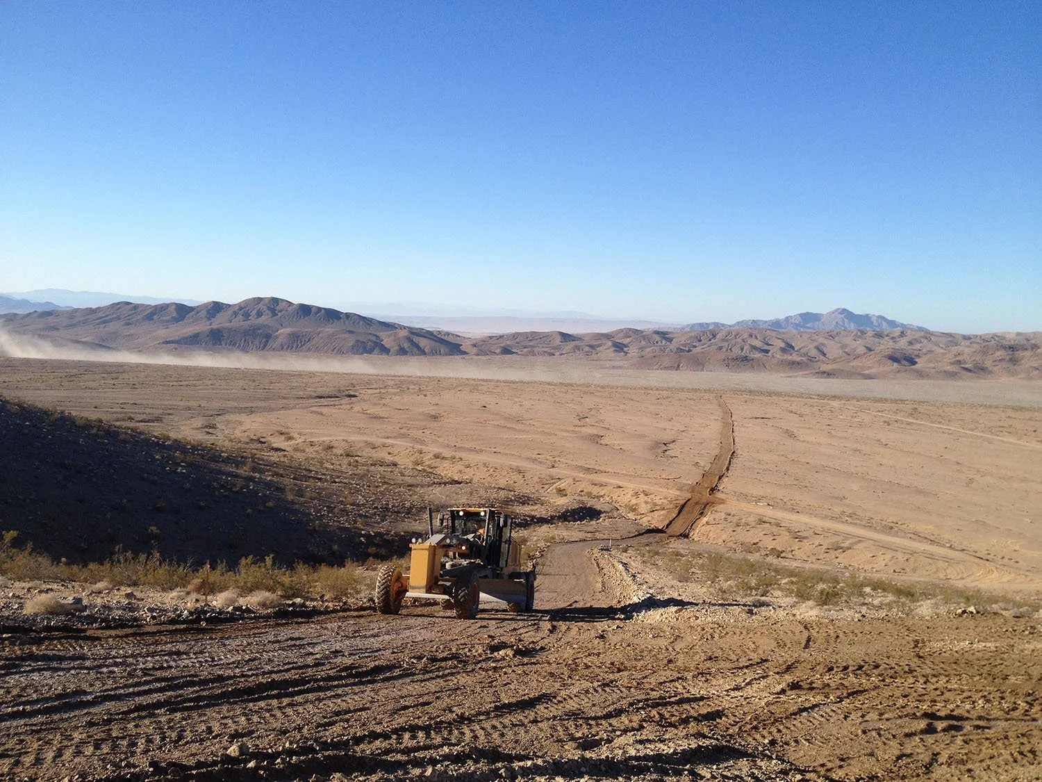
![A bulldozer working on a dirt road in a desert landscape with mountains in the background and a clear blue sky.]()
Transportation Infrastructure
-
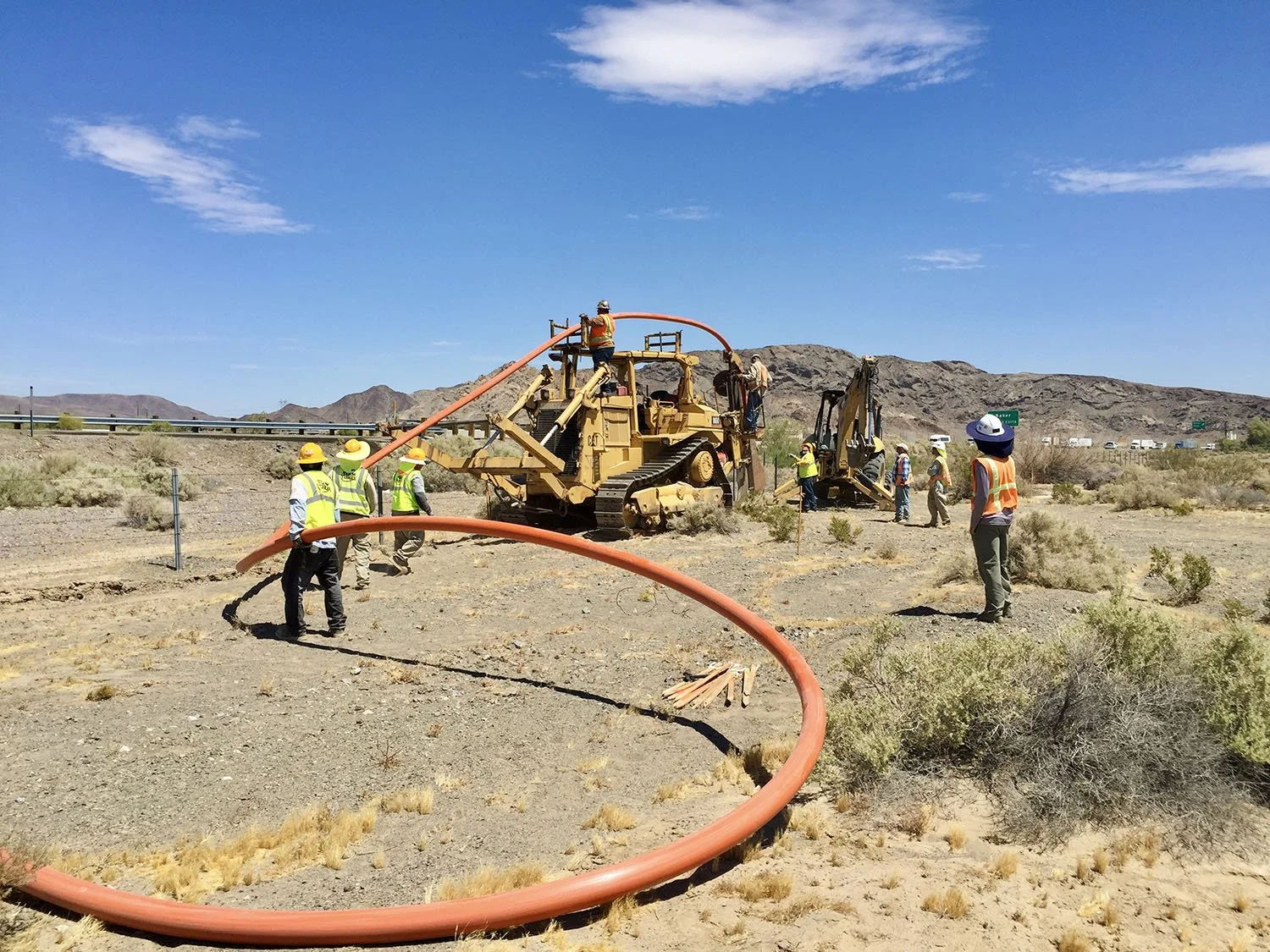
![Workers in safety vests and hard hats operating construction equipment and installing large orange pipes in a desert landscape, with mountains in the background under a clear blue sky.]()
Telecommunications Infrastructure
How We Work With You

Scoping Call(s)
We review your project footprint and identify what surveys and documentation your permit or environmental review may require

Field Site Visit(s) and Survey(s)
Applied to protocol windows and your project timeline

Survey Documentation
CEQA/NEPA-ready data analyses, mapping and reporting, written for your lead agency or reviewing planner
Mitigation + Monitoring Plan(s)
If needed; built to be approved and to actually work in the field
Ongoing Permit Compliance Reporting
Periodic submissions to county, state, and federal agencies, as detailed in permit mitigation measures
How We Work With You
Scoping Call(s)
We review your project footprint and identify what surveys and documentation your permit or environmental review may require
Field Site Visit(s) and Survey(s)
Applied to protocol windows and your project timeline
Survey Documentation
CEQA/NEPA-ready data analyses, mapping and reporting, written for your lead agency or reviewing planner
Mitigation + Monitoring Plan(s)
If needed; built to be approved and to actually work in the field
Ongoing Permit Compliance Reporting
Periodic submissions to county, state, and federal agencies, as detailed in permit mitigation measures